Topographic and Cadastre Services
Sk Consulting Engineers - Topographic Engineer NTUA - MSc Geoinformatics NTUA - Agronomist - Ioannina
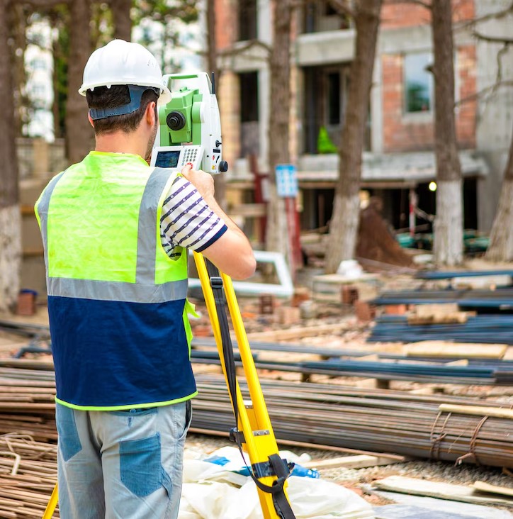
Topographic studies are the foundation of every project – from a simple building to large-scale infrastructure projects.
At SK Consulting Engineers, headquartered in Ioannina and with a branch in Igoumenitsa, we have the expertise and state-of-the-art equipment (GPS/GNSS, geodetic stations, drones, laser scanners with SLAM technology, etc.) to perform high-precision topographic work.
All measurements are carried out integrated into the official Greek Geodetic Reference System EGSA '87, ensuring full compatibility with public services, urban planning, notaries and technical standards.
Our experienced team undertakes the entire process – from field measurements to the production of final diagrams – providing consistency, accuracy and prompt delivery.
- Topographical Charts: We offer accurate and reliable topographical charts for any type of project, be it construction or industrial. Our charts are integrated into the Hellenic Geodetic Reference System (EGSA'87), ensuring accuracy and compatibility with national standards.
- Land Registry: We provide comprehensive services for the preparation, submission and monitoring of declarations in the Land Registry. Our experience in this field ensures correctness and full compliance with National Land Registry requirements, helping our clients avoid unnecessary delays and problems.
|